Via Francigena Apps
Via Francigena Apps
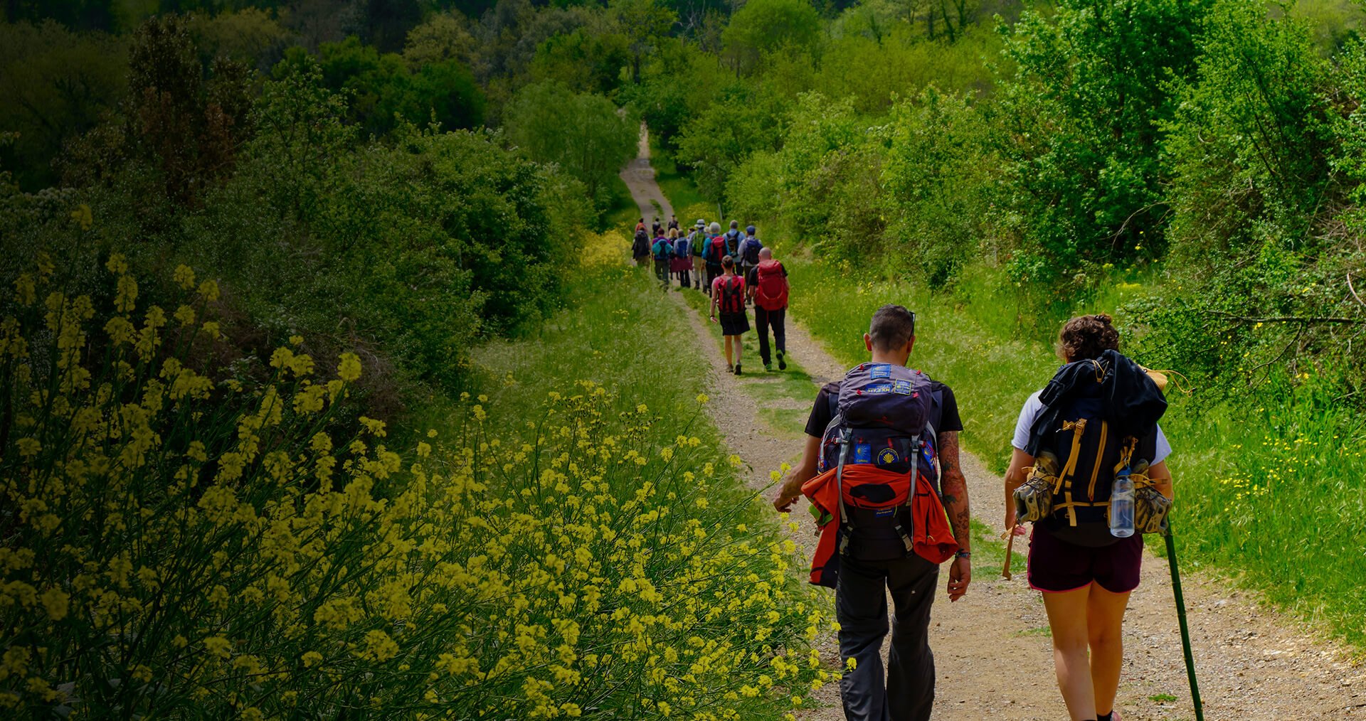
Many pilgrims on the Via Francigena rely on apps for mapping out their journey. Alongside guidebooks and physical maps, apps are an increasingly vital tool for pilgrims, enabling users to see their real-time progress along the route. We’ve put together here a list of the most popular free-to-download apps currently available.
Apps
Via Francigena – Official App
- Created and maintained by the European Association of the Vie Francigene EAVF (AEVF)
- Allows GPS navigation from Canterbury to Rome, and beyond to Santa Maria di Leuca along the Via Francigena del Sud.
- Provides a map of the entire route, as well as individual stages arranged by country and region.
- Pilgrims can download these maps to use in offline mode.
- Note: As long as you open each map while connected to WiFi or data, the app will continue to work well offline or in Airplane mode (helpful for saving battery).
- Do not rely on this app for information on accommodation in the UK or France. To be used in conjunction with CPR’s accommodation list.
Note: A new upgrade of this app is due for release late 2024.
SloWays
- This app is also specific to the VF.
- Includes walking and bike routes for VF stages from Pontarlier to Rome – so not yet of use to walkers in England and France.
- Includes elevation profiles for each stage and shows the user’s position in real time on the elevation graph.
- Includes information on ‘Points of Interest’.
- Feedback suggests that many pilgrims use the SloWays app in conjunction with the official VF route.
Mapy.cz
- Allows users to download regional maps for offline use.
- Shows many local routes and so is useful for pilgrims looking to make alterations to their walk, or who are seeking to join the VF from a different route.
- Allows the user to toggle between different views, including satellite view.
- The app allows users to plot and save personalised routes ahead of time – again useful if you plan on leaving the official VF route.
- It does not provide information on individual stages of the VF, but does cover the entire route from Canterbury.
All Trails
- Allows users to download maps to your phone for offline use.
- Includes satellite ‘profiles’ of each stage of the VF.
- Includes 150 maps of the VF from Canterbury to Santa Maria di Leuca
- Has the option to set up ‘wrong-turn alerts’
Most pilgrims tend to use or more of the above apps for their journey, but others have reported positive experiences with the following apps, including:
Gronze – https://www.gronze.com
Komoot – https://www.komoot.com
Gaia GPS – https://www.gaiagps.com
Swisstopo is an excellent app for the stages in Switzerland – https://www.swisstopo.admin.ch/en/swisstopo-application
We recommend you do some research ahead of starting your journey to decide which app(s) best suits you.
Other information:
- You will find that the Pilgrims to Rome Facebook community is an excellent resource for questions about apps, with users on hand to share advice and experiences:
- Bear in mind that GPS drains battery power, so it is recommended to travel with an external battery (about 8000mAh).
- Also note that the “free” maps in many apps are from the community-driven openstreetmap.org, so coverage detail may vary by region, especially in the countryside away from roads.
- Most apps allow users to choose points of interest for display, for example accommodation, food and drink, shopping, public transport, health and medical, money, and also tourist information on places to see, how to get about and order a taxi.
- We recommend that you download all maps required along your route when you have a wifi connection. Phone signal can vary when on the path
Weather Apps
BBC Weather
Worldwide coverage, iOS, Android and Amazon
bbc.co.uk/weather
Météo-France
iOS and Android
http://www.meteofrance.com/appli-meteo
MeteoSwiss
iOS and Android
www.meteoswiss.admin.ch
Meteo.it
iOS and Android
https://www.meteo.it/mobile-app/
Transport Apps
Rome2Rio
This app will tell you how to get from A to B.
Whether you’re traveling by flight, train, bus or a rental car. The app gives you estimated prices, journey duration and booking details from over 5000 companies in 160+ countries.
Enter any address, landmark, or city as your destination and the app will instantly display all your travel options. View journey times, prices and all your different transport choices in one convenient place, along with accommodation searches and booking options.
https://www.rome2rio.com/about/rome2rio-app/
SNCF (Assistant) – Transports
French national railway timetables and booking, available iOS and Google Play. https://www.sncf-voyageurs.com/en/tickets/
The Trainline
Railway information and booking through Europe
https://www.thetrainline.com/
DB Navigator
Die Deutsche Bahn “Anwendung”, the German railway’s travel app. does about the same in Europe as Rome2Rio and you can book and buy tickets too. You can select German or English language.
https://www.bahn.com/en/view/booking-information/booking/db-navigator-app.shtml
TrenItalia
The App of the Italian State railway. FS – Ferrovie dello Stato Italiane.
The Italian’s app allows you to buy your tickets for national and regional travel, display, change, apply for a refund of purchased travel tickets … and much more!
https://www.trenitalia.com/tcom-en/Purchase/Mobile-Ticketing
Hard Copy Large-Scale Walking And Cycling Maps
For those who prefer a real map in their hands, or who like them for planning purposes – and for retracing memories.
All maps available at Stanfords, who deliver worldwide and can print maps specially (www.stanfords.co.uk, 7 Mercer Walk, Covent Garden, London WC2H 9FA. + 44 207 836 1321)
UK
Ordnance Survey Landranger 179 1:50,000 Canterbury and East Kent
Ordnance Survey Explorer sheets 150 and 138 1:25,000
France
IGN maps
Stanfords (as above)
Cycling maps: www.freewheelingfrance.com
Switzerland
Special hiking editions of the topographical survey of Switzerland at 1:50,000, and also 1:33.333 waterproof and tear-resistant hiking maps.
Also at
Italy
Kompass 50K hiking maps
Stanfords (as above)
also