
If you are worried about overstaying the Schengen 90-day restriction, Paul Chinn, author of the Lightfoot Guides, has solutions for saving both time and distance. Here he explains why today’s Via Francigena is so much longer than the route probably taken by Sigeric in 990, and how you can shorten it.
- A longer version of this article, with maps, will be published in the Confraternity’s print newsletter, due out in the autumn.
Archbishop Sigeric completed his journey home in 79 or 80 stages (excluding the leg from the Channel to Canterbury) and probably covered about 1400 km. How can this have grown to 2200 km in a hundred or so stages??
If we were to travel by car or even by bike we can get very close to the Roman roads that we think Sigeric used. In my late sixties on my trusty mountain bike I managed to pick out and follow a route that led me from Canterbury to Rome in 22 cycling days covering around 1600 km.
However, the modern pilgrim reasonably expects safety and quality of experience and the highways that I followed do not offer this to the walking pilgrim.
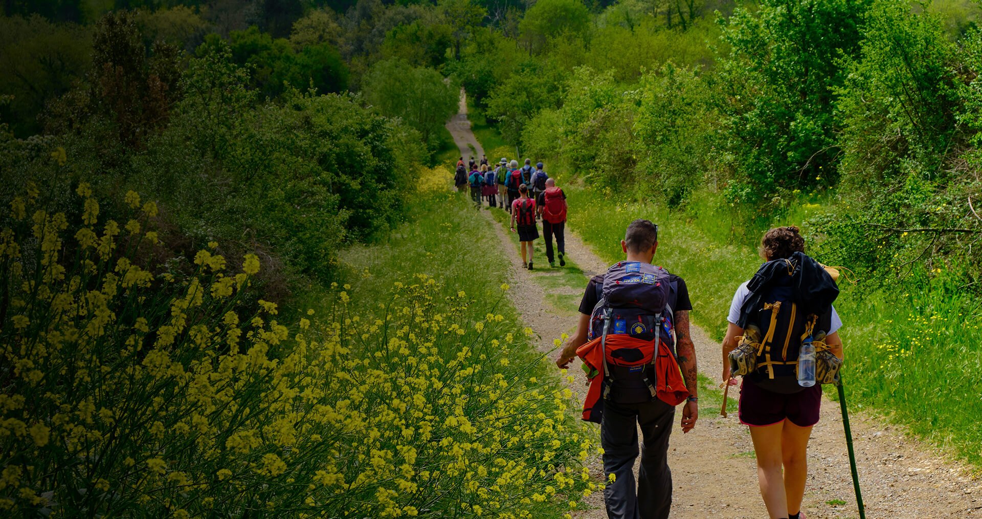
Although my company is based in France, my guides (the Lightfoot Guides) are written in English as both my natural language and the route, in my view, to the largest population of potential pilgrims. However, with this comes a political dilemma that since Brexit there is no country whose primary language is English that has automatic visa access to the countries on the route for more than 90 days. So, in summary we have seen a 50+% growth in the route length since Sigeric (who we think used a horse) which most anglophone pilgrims need to complete on foot in just 10% more days. It is clear that many pilgrims have accepted and conquered this challenge. What is less clear is how many have found the challenge too great and have opted to walk yet another Camino route in Spain or Portugal.
I would like to take quick look at the reasons for such a dramatic growth in distance and whether this must be accepted. I will initially focus on France as this is where the greatest growth has occurred.
In France the GR© network is a fabulous asset with the benefit of signposting, route maintenance and provision of hiking accommodation. Not unreasonably, the Fédération Française de la Via Francigena (FFVF) in conjunction with the European Association of the Vie Francigene (EAVF/AEVF) elected to define a route which would be adopted by the Fédération Française de la Randonnée Pédestre (FFRP) as a GR©. However, the implementation of this decision did not come without cost to the prospective pilgrim.
- Pre-existing GR© were preferred over establishing new rights of way and installing and maintaining new signposting. Perhaps the best example is the section between Châlons-en-Champagne to Brienne-le-Château where a direct route following the Roman road, probably used by Sigeric, is bypassed despite there being no material safety risks in favour of a much longer route via Vitry-le-Francois. This alone adds 48 km (2 hiking days) to the journey while bypassing 2 named Sigeric locations.
- GR© status requires the minimisation of the use of tarmac, regardless of the level of traffic or existence of adequate pavements. The stage from Besançon to Ornans (not a Sigeric location nor on his probable route) completes 3 sides of a rectangle where a section of quiet road followed by a woodland track would reduce the stage from a challenging 36km to a reasonable 23 km.
Having now established GR© status as the GR©145 the route in France is 400 km longer than the route that was probably taken by Sigeric and there is significant resistance to modify the route.
In Switzerland we encounter resistance again in the modification of route 70. It is accepted that the route taken by Sigeric was via Antifern which is now understood to be the border town of Jougne. However, the Swiss route was designed when there was an inaccurate association of Antifern with Yverdon-les-Bains. Nonetheless, the route 70 signposting and the AEVF app continue follow a route sweeping a wide arc bypassing Jougne.
In Italy, a more relaxed view of rights of way coupled with a richer network of farm tracks and footpaths has allowed a closer following of the probable Sigeric route, while more investment has been available to tackle safety issues including the installation of a number of footbridges. It is nonetheless interesting to see that in a number of situations eg Monteriggioni and Colle di Val d’Elsa the “Official Route” now passes through tourist centres bypassing known Sigeric stopping places and adding unnecessary kilometrage.
In the Lightfoot Guides I have sought to reproduce as accurately as possible the “Official Route” and yet highlight approximately 100 options to shorten or pass more closely to the Sigeric route. When taken together these options will reduce the journey by more than 200 km more than seven normal hiking days bringing the route more comfortably within the scope of a Schengen visa holder. The options work hard not to use busy roads but do not slavishly bypass all tarmac. I recall my former CPR board colleague, the late Alison Raju, insisting that when you have been on the road for weeks the thing that matters most is “just getting there”.
Paul Chinn summer 2023